
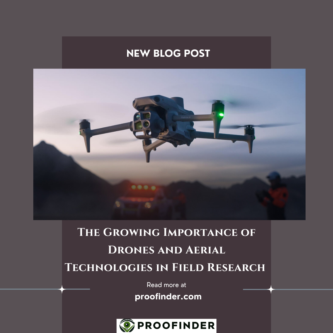
The Growing Importance of Drones and Aerial Technologies in Field Research
Field research has traditionally depended on direct observation, local networks, interviews, and physical site visits. While these methods remain essential, drones and other aerial technologies have introduced an additional perspective that can strengthen how researchers observe, document, and assess complex environments.
For organizations conducting political, economic, social, and security-related research, aerial observation can complement conventional field methods by providing broader geographic context. When used lawfully and ethically, it can help researchers understand physical conditions, document visible developments, and compare changes across locations and time.
Expanding the Reach of Field Observation
One of the main advantages of aerial technologies is their ability to provide a wider view than ground-level observation alone. This can be particularly useful when research covers geographically dispersed locations or areas where physical access is difficult.
Aerial observation can contribute to research by:Providing broader geographic context around developments observed by local field teams.
Documenting visible changes in transportation routes, public spaces, border regions, infrastructure, or patterns of activity.
Creating comparable visual records that support subsequent analysis and reporting.
Rather than replacing researchers on the ground, these technologies add another source of information to the research process.
Connecting Aerial Information With Field Insight
Aerial imagery can show physical patterns and changes, but visual information alone rarely provides sufficient explanation. Understanding why a development matters requires context from local researchers, interviews, open sources, historical information, and other forms of evidence.
This is where integration becomes particularly important. An observed change in movement, infrastructure, or local activity may acquire greater analytical meaning when compared with field reporting and socioeconomic or situational developments.
Supporting Verification and Analysis
Aerial technologies can also provide an additional layer of evidence when researchers are assessing information obtained from other sources. Visual records may help confirm the physical characteristics of a location, establish whether observable changes have occurred, or provide geographic context for field observations.
The strongest research therefore does not depend on a single method. Combining aerial observation with local expertise, open-source information, direct fieldwork, and structured analysis can produce a more comprehensive and balanced understanding of complex environments.
As research environments become increasingly dynamic, drones and aerial technologies offer another valuable perspective for organizations seeking accurate and context-rich information. Their value lies not simply in seeing more, but in connecting what can be observed from above with what can be understood on the ground.
"A broader view strengthens field understanding"